Here are the new words that I learnt during this first unit:
GEOGRAPHY: Science that aims to identify, contextualise, describe, explain and relate the different facts and phenomena that are associated with territories.
ANTHROPIC: Not created by humans, artificial.
SOIL: Land, ground.
SUPRANATIONAL UNIT: Assotiation of different countries that have the same political, economic, culural or social interests. Ex: European Unión
CARTOGRAPHY: Discipline that is concerned with representing territories, from the smallest ones to the Earth as a whole.
PORTULAN CHARTS: Type of maps that dispayed the coasts in great detail because they were used to navigate the sea.
FAN:
CITY PLAN: Representation of very small places in great detail that show the layout of the streets, the location of squares, transport infraestructures(roads, airports, railways...), the most important buildings and monuments...
GIT: Geographic Information Technology is a group of methods and techniques used to find out about and represent territories.
TIMBER: Wood used for industry.
DAM: A barrier constructed across a waterway to control the flow or rise the level of the water.
IRRIGATION SYSTEM: To supply(land or crops) with wáter by means of pipes, sprinkles, ditches ans streams.
IT LIES...: It is located/ situated...
EARTHQUAKE: Sudden movement of the ground caused by movements within the earth's crust.
TO FLOOD: An overflowing of water onto land that is normally dry.
MOUNTAIN RANGE: Group of mountains.
FIRE INSURANCE: Insurance covering damage ot loss caused by fire or lightning.
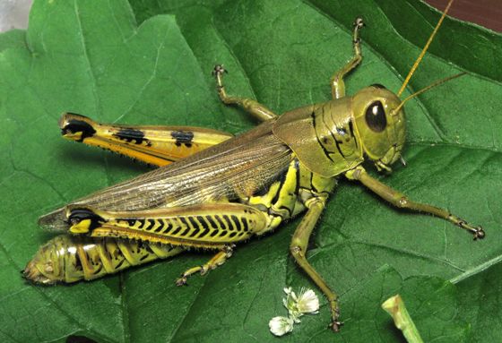
GRASS HOPPER:
BOUNDARIES OF COUNTRIES: Limits of countries.
RAINFOREST: A dense evergreen forest usually located in the tropics with a minimun annual rainfall of approximately 180 centimeters.
NEST:


No comments:
Post a Comment